

Software that shares field data in real time.

We’re a team of knowledgeable and experienced professionals.
In the interest of public safety, energy producers are required by their respective Provincial and Federal government regulators to create and maintain Emergency Response Plans and Public Awareness Programs.
These highly detailed plans indicate Emergency Planning Zones and specific information including:
Our team of experienced Stakeholder Engagement Specialists collect GIS data and contact residents and businesses within Emergency Planning Zones. The focus of our stakeholder engagement process is to inform and gather information in a courteous, respectful and confidential manner.

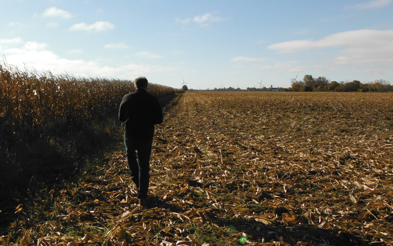
An accurate emergency response map starts in the field with efficient groundtruthing.

We take pride in explaining projects and ensuring all questions are answered prior to collecting confidential information in a respectful and courteous manner.
The team at Optick Data & Mapping are professionals. We are knowledgeable about the emergency response planning process, adept at groundtruthing and courteous and thorough when conducting stakeholder engagement consultations. We are trained to recognize potential hazards and have developed procedures and communication protocols to ensure safety while working in the field.
A Complyworks approved contractor based in Red Deer, Alberta; our areas of experience include sour pipelines, sour facilities, HVP pipelines and drilling programs. All field team members have current tickets and observe the safety protocols necessary in our industry.
Reach us by phone at (403) 341-0809